Regional councils have released thousands of historical aerial images, showing how cities and towns around the country have changed.
The new website, retrolens.nz, provides free access to photographs from the 1930s through to the 1990s, as well as some more recent images.
The roughly 500,000 images were sourced from a $5 million national digitisation project, managed by Land Information New Zealand.
One of the councils involved in the website, Canterbury Regional Council, said the historical imagery showed changes in land use and coastlines and helped identify where dangerous chemicals were used.
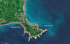
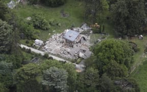
The images were also a great planning resource, and could be useful in the response to the Kaikōura earthquake, it said.
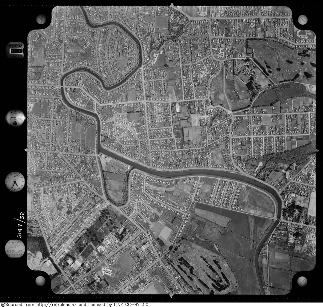
Christchurch, 1961 - one of about 500,000 images in the online archive, which can be searched using a map of New Zealand. Photo: retrolens.nz / LINZ / CC-BY 3.0
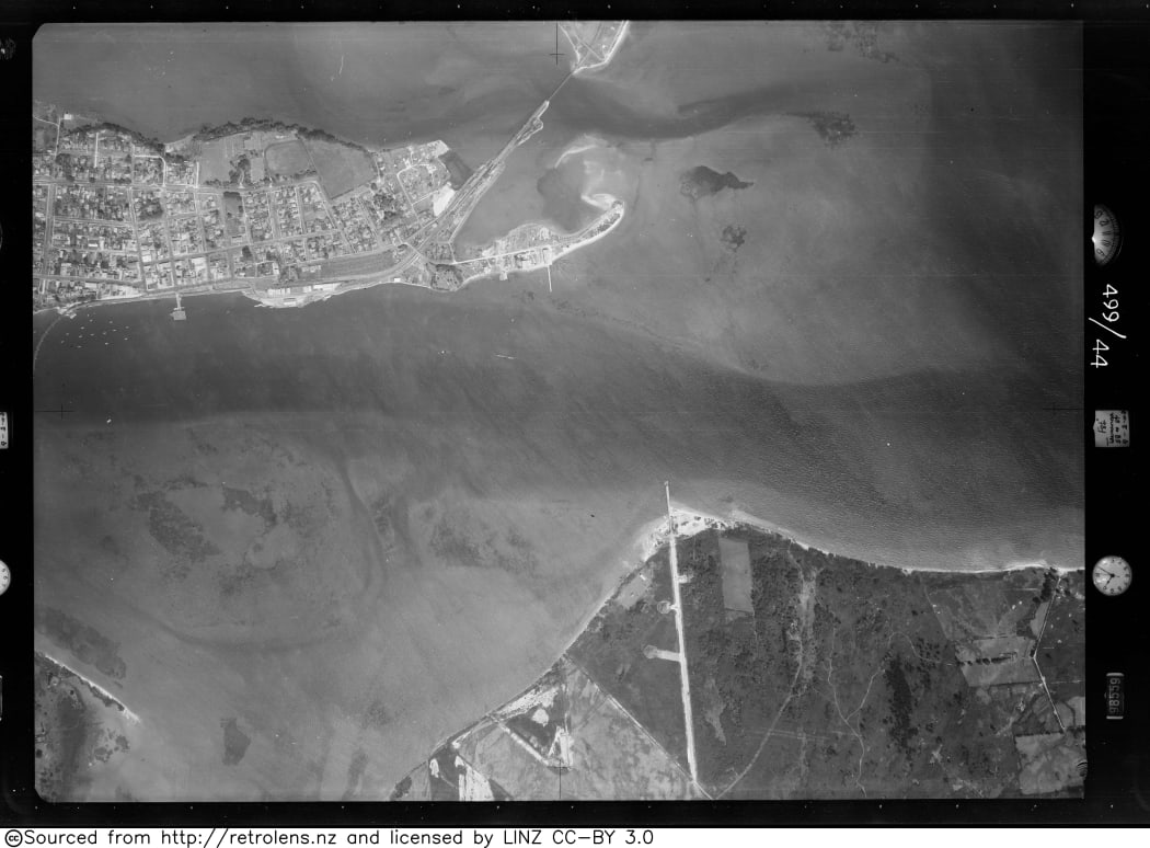
Mt Maunganui, 1943 Photo: retrolens.nz / LINZ / CC-BY 3.0
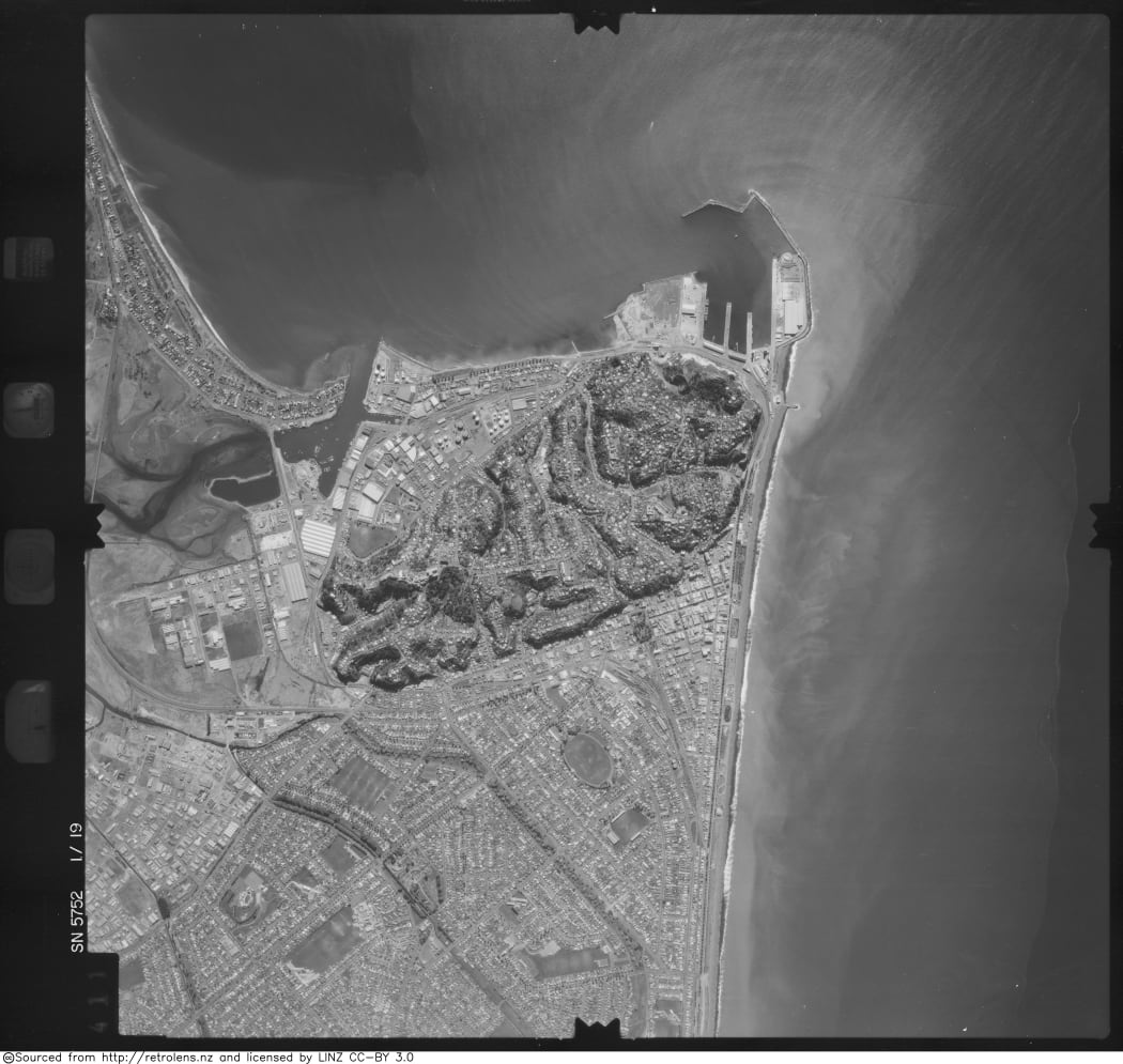
Napier, 1980 Photo: retrolens.nz / LINZ / CC-BY 3.0